Volumetric Calculations
- 99.5%+ Accuracy
- Desktop Measurement
- Digital 3D Documentation
- No More Climb Over/around Piles
- Zero Interruption in Mine Activities
Effortless Surveys, Precise Data

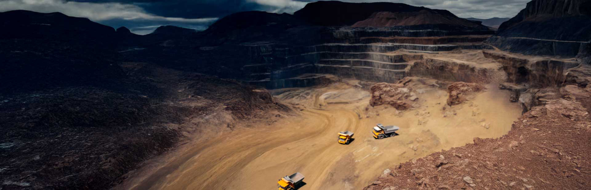
Revolutionizing Mining with

From Sky to Site

Facilitates the planning and execution of drone surveys, resulting in processed data which is converted into usable raster, vector & terrain data & provides visualization of the GIS data, performs basic measurements, detects changes & manages on a regular basis.

Volumetric Reports

Geotagged data

Surveillance Report

Analysis of mined volume vs issued volume

The drone solution includes surveillance of existing and new mining lease areas, screening of the river stream area & mineral permit area of the district.
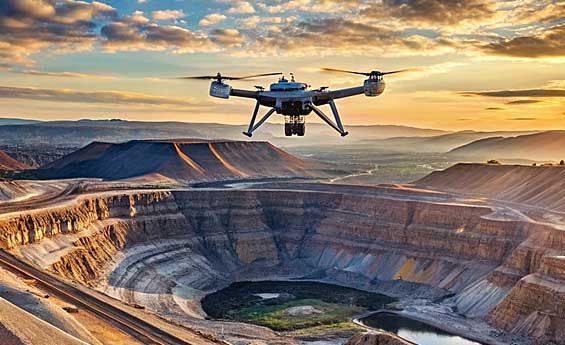
Introduced Drone Technology for Surveying & improving the efficiency of large mine sites and quarry management by providing accurate and comprehensive data detailing site conditions in a very short time.